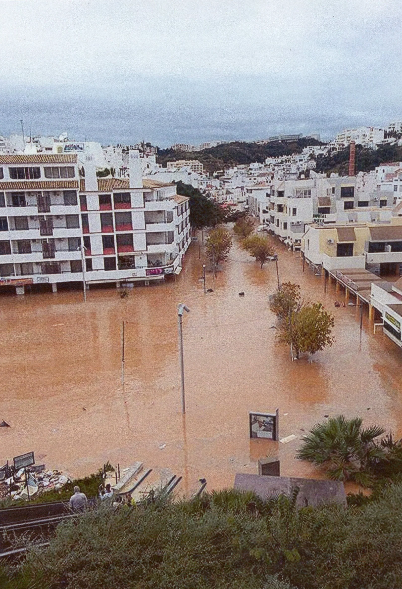
On 20 February 2026, an adaptation of Albufeira’s municipal plan to the second flood-risk management plan for the Algarve river basins was published. It concerns areas of potentially significant flood risk within the municipality, not the whole municipality uniformly.
Text and map
The declaration changes provisions in the plan regulations, adds an annex on flood-risk safeguards and introduces a separate planning map for the affected areas.
Locate the precise plot
Compare the published map and SNIT plan documents with the boundaries of the property. Check other applicable restrictions. Near a mapped boundary, seek a technical confirmation instead of relying on an approximate screen view.
Before purchasing or designing
Ask the council which provisions apply to your intended use or works. The amendment does not mean that every Albufeira plot is flood-prone, and a map search is not a formal planning decision.
Verified sources
Official information to check
General information reviewed against official sources available on September 23, 2026. It does not replace legal, tax, financial or technical advice for your circumstances.