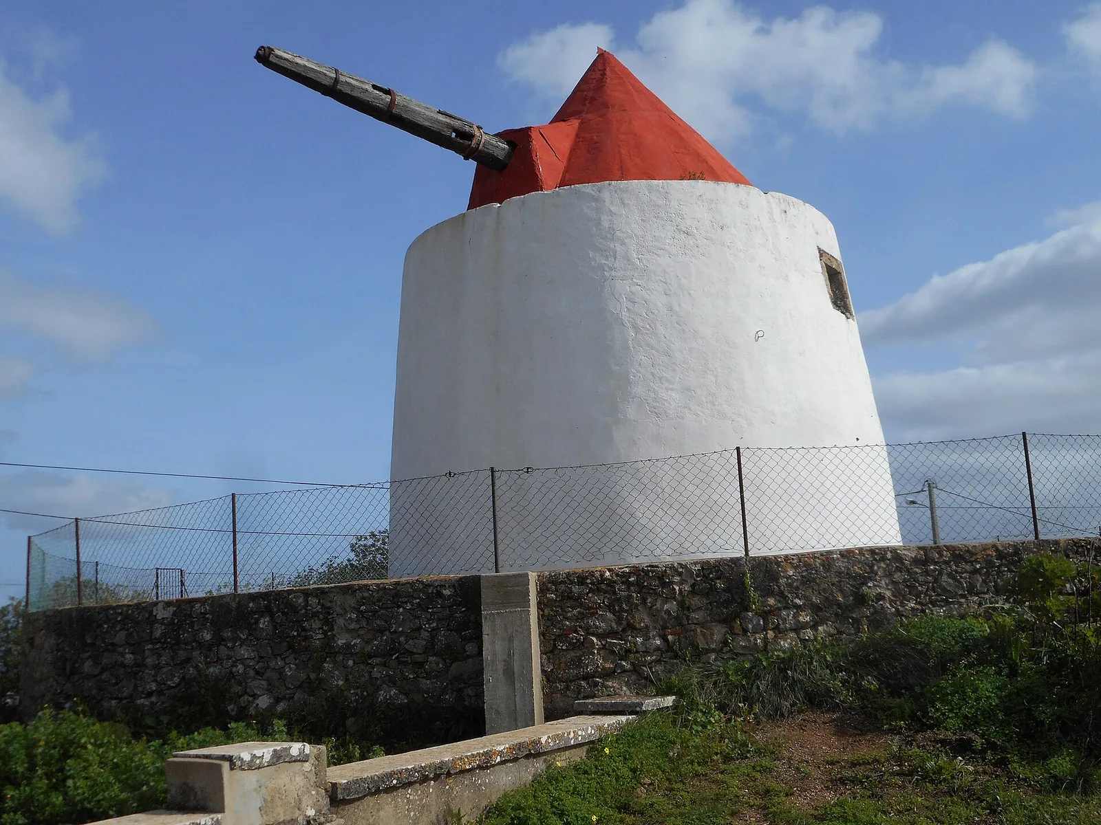
Regulation 653/2026 was published on 27 May 2026 for Matos da Picota. Its annex maps about 8.5 hectares; it does not cover all of Loulé.
Limited territorial scope
Within the mapped area, provisions in articles 33 and 40 of the current PDM are suspended and temporary rules apply. The text addresses natural values, forestry and recreation, with restrictions and exceptions requiring full review.
Check the plot
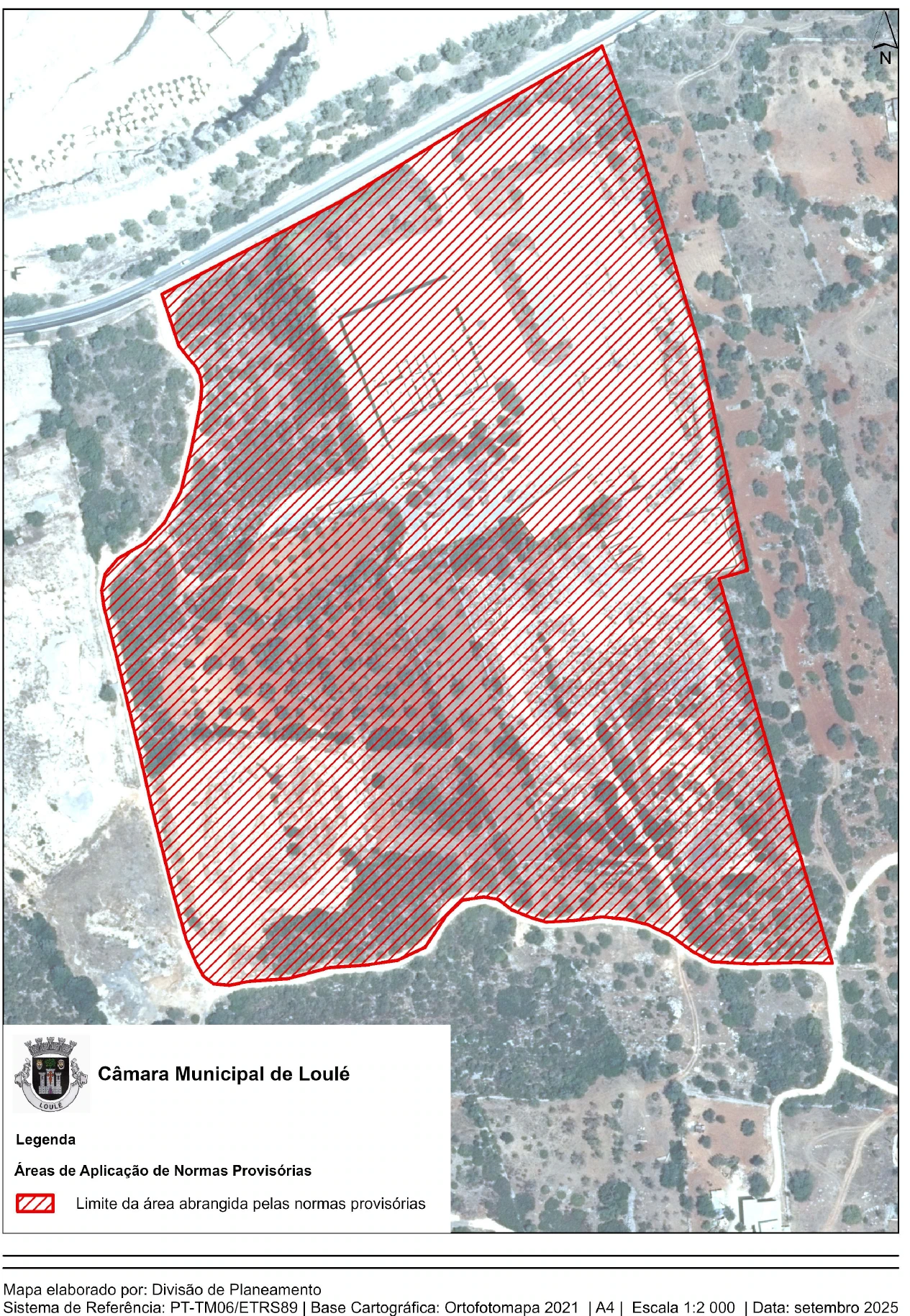
Extract from the official boundary map (page 5). The red hatching marks the area covered by the provisional rules. Use the original PDF to read the map at scale and confirm any plot with the municipality.
Compare the annex map with a surveyed and registered plot. Check other planning constraints and territorial plans through SNIT.
Ask the council
If building, reconstruction or a change of use in Matos da Picota is decisive, obtain technical advice and municipal confirmation. Elsewhere, ordinary planning checks still apply.
Verified sources
Official information to check
General information reviewed against official sources available on September 23, 2026. It does not replace legal, tax, financial or technical advice for your circumstances.